This was a VERY long hike and this is going to be a VERY long post.
I asked MCF if he wanted to trek to an old military facility on Long Island that once housed cannons on the south shore that could fire a shell, larger than a man, a few miles out to the Atlantic.
These are the pictures…this is the adventure.
We left for the 2 hour drive at about 9:30am on Sunday and got to Montauk at about 11am… I was driving, obviously ;)
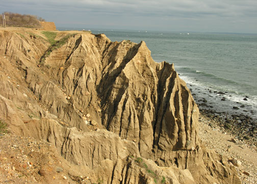
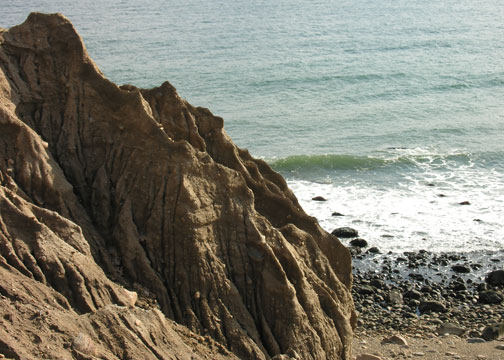
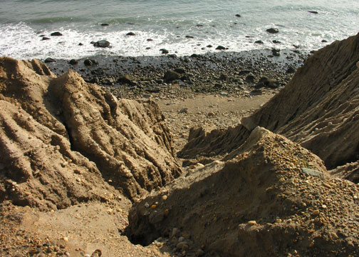
Camp Hero greeted us with a $6 parking fee and an eroded shelf with a hundred foot drop. Although signs warned to keep back 25 feet we couldn’t resist.
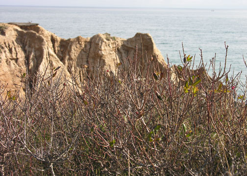
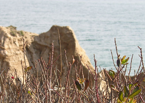
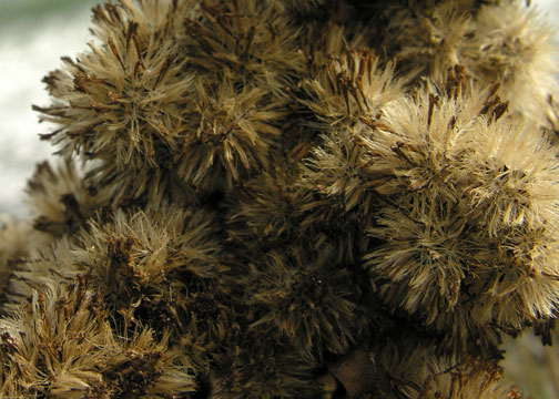
I took some close-ups of some of the plants on the bluff.

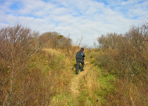
We found some trails that followed the bluff toward the Lighthouse and we started what would be more than a 4-hour hike.
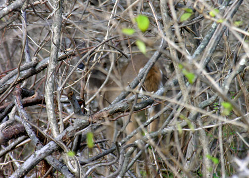
Along the first leg of the walk we spied movement in the brush. A flick of a tail and a twist of a head is what we saw. What do you see?

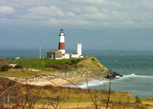
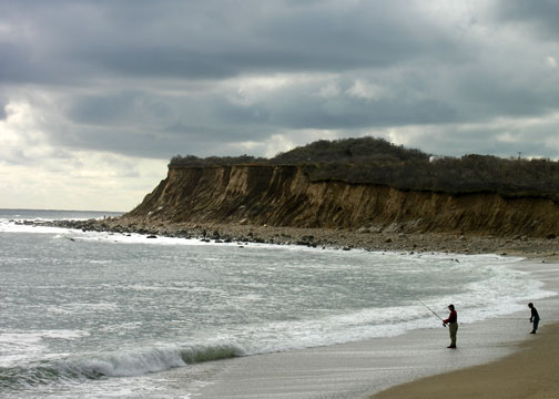
Towards the top of one hill we had a great view of the Lighthouse and a fisherman down below.
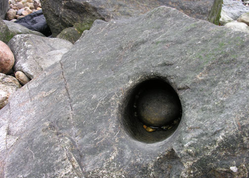
We also caught a glimpse of a military bunker. We searched around and found a clearing with a sealed up entrance.

In front of the entrance was a circular cement slab that I am not sure what it was used for.

We followed the trail down to the beach where I found some interesting driftwood and fine scenery.
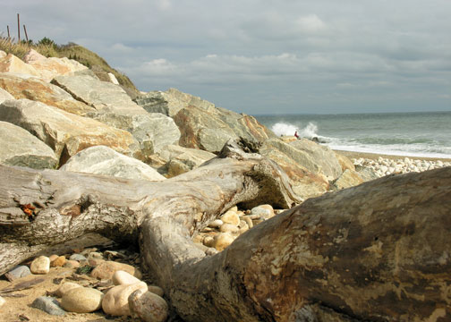

We were surprised to find that the trail followed the stone toe wall (which helps lessen erosion)


Here is a better shot of that stone just off the toe wall.

We walked around the entire lighthouse and I found this symbol in one of the stones.
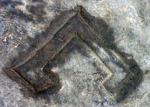
I tapped it with my foot wondering if it would teleport me to an alternate time alla Stargate.
It did seem to change the weather.

We continued down some treacherous rocks and reached the beach on the other side of the lighthouse.
This rock made us wonder… wonder what I have no idea… but we wondered.
We walked a ways and found some more wildlife.


Hey! I never said they were alive.
But we also found these tasty berries…

Just kidding ;)
We doubled back to Camp Hero and picked up a map at the gate. We followed a winding path through the woods, over wood bridges, and past warning signs.

Our first find in the woods was this padlocked door.
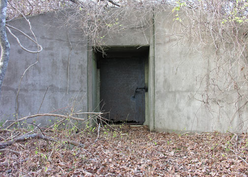
Notice the rotted base of the door? I did. It’s amazing what a flash will do.

Walking, walking, walking… and our feet started to feel what many soldiers must have felt in the past. Along the path I found this tree interesting.

We reached our destination and found one of the gun emplacements.

And you can check out what the Big Boom looked like back in the day.
Close by is the Radar Tower.

This tower was one of the largest in the US and was in use until the 1980s. The facilities are now fenced off and boarded up.

Tired and weary we followed a dirt road back along the bluffs…

And down onto the beach.

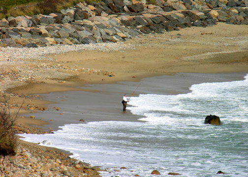
Before leaving I got one last shot of two fishermen…
And two more special shots of MCF.


Until next time.